This has 4,000 hectares within the project to generate carbon credits.
It has the El Sabinal waterfall, the third highest in Mexico, part of the river that feeds the Adolfo López Mateos dam, which provides water to the agricultural and livestock area of Sinaloa..
Key information on the project under development that drives climate and social solutions
Status
Verification approved
Type of project
Improved Forest Management and Restoration
Forest carbon permanence
100 years
Key features
Total project area:
10,472.04 ha
Preserved Surface
4,000 ha
Baseline carbon stock:
913,267 tCO2
The forest in this project acts as a large natural carbon store, storing tons of greenhouse gases in its trees. By protecting and keeping these ecosystems alive, we prevent these emissions from returning to the atmosphere.
El bosque de este proyecto actúa como un gran almacén
natural de carbono, resguardando en sus árboles toneladas de gases de
efecto invernadero.
Al proteger y mantener con vida estos ecosistemas,
evitamos que esas emisiones regresen a la atmósfera.
Impacting
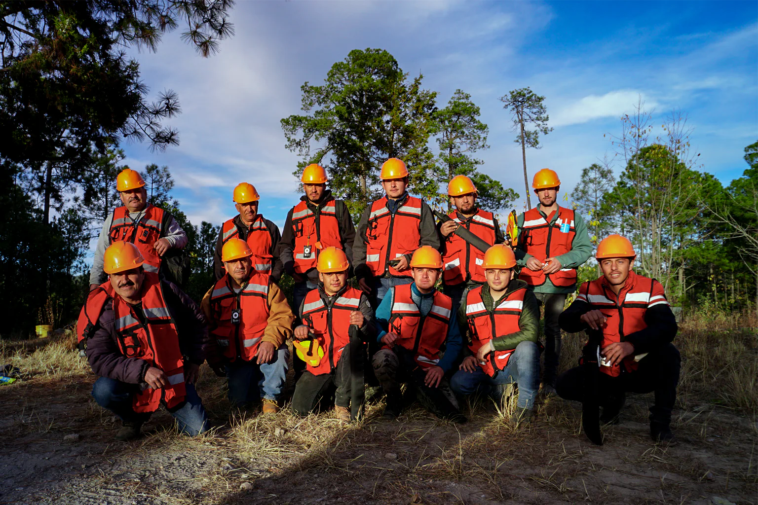
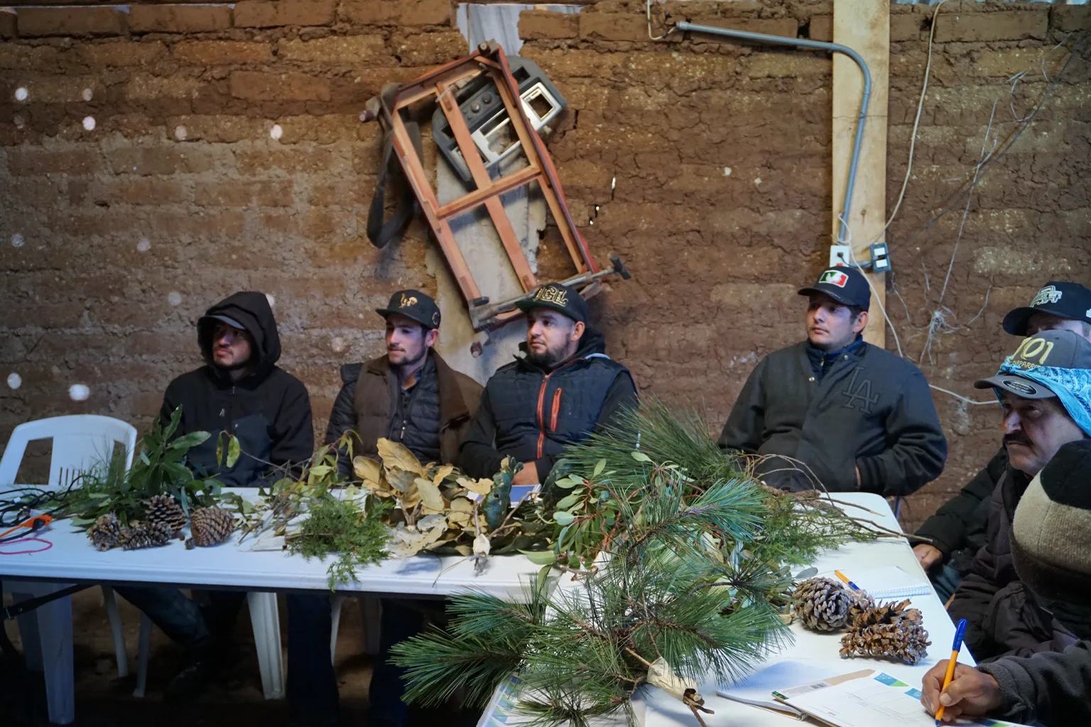
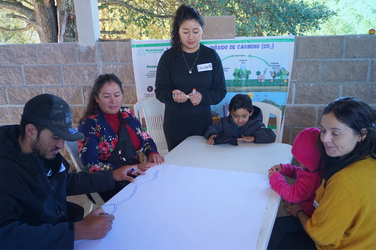
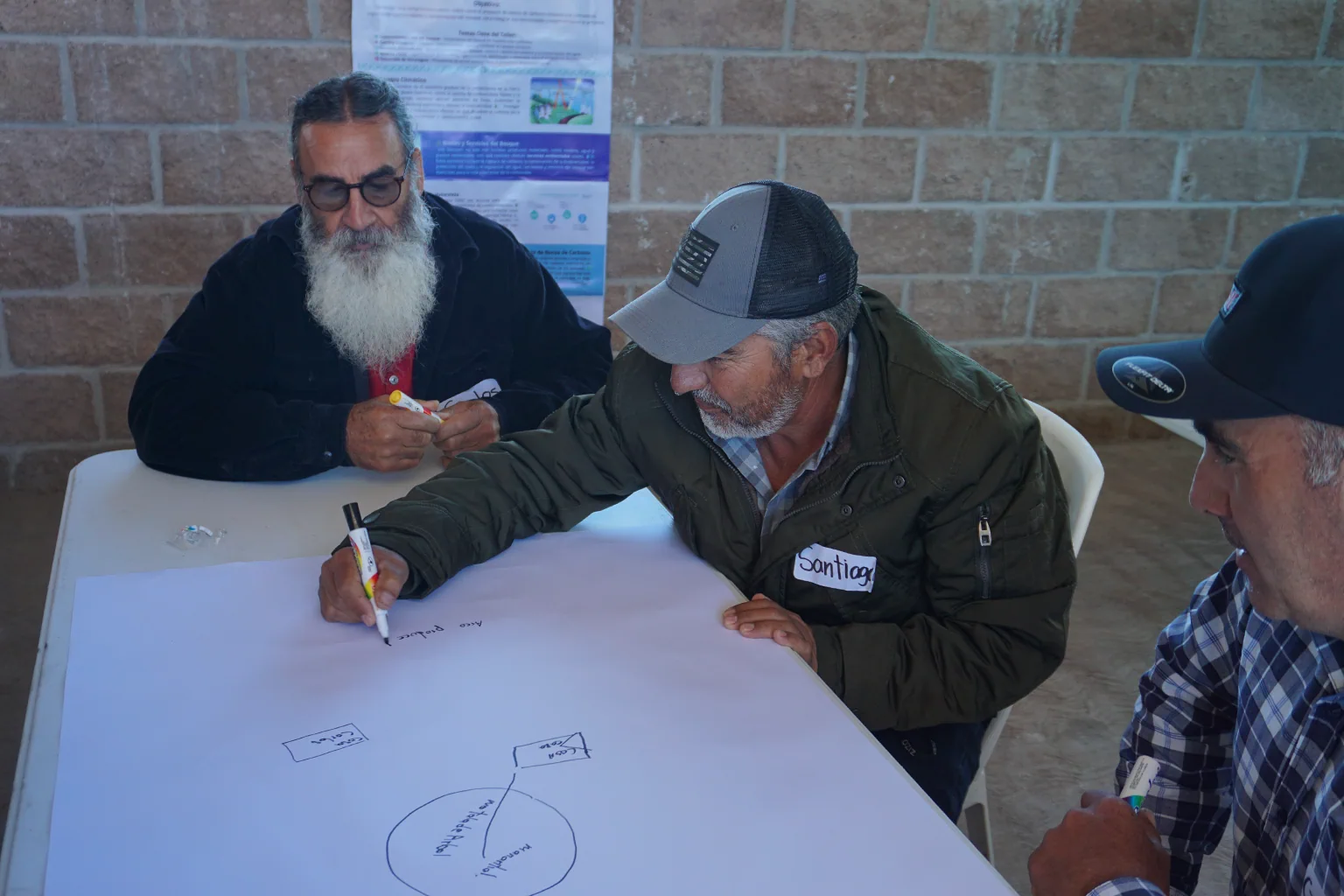
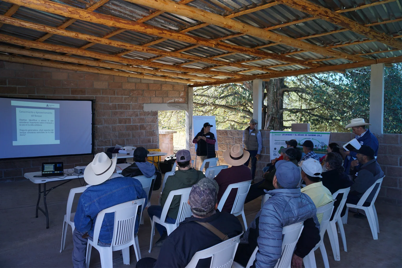
Social Impact Assessment: Yesqueros Community, Tepehuanes, Durango
Carbon projects
Voluntary Market
Challenges in the face of climate change
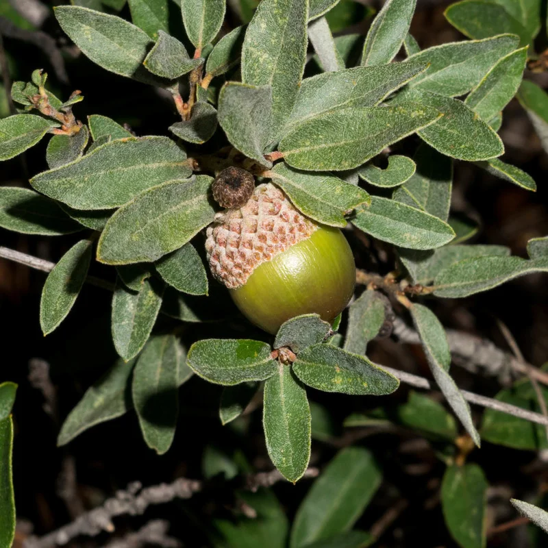
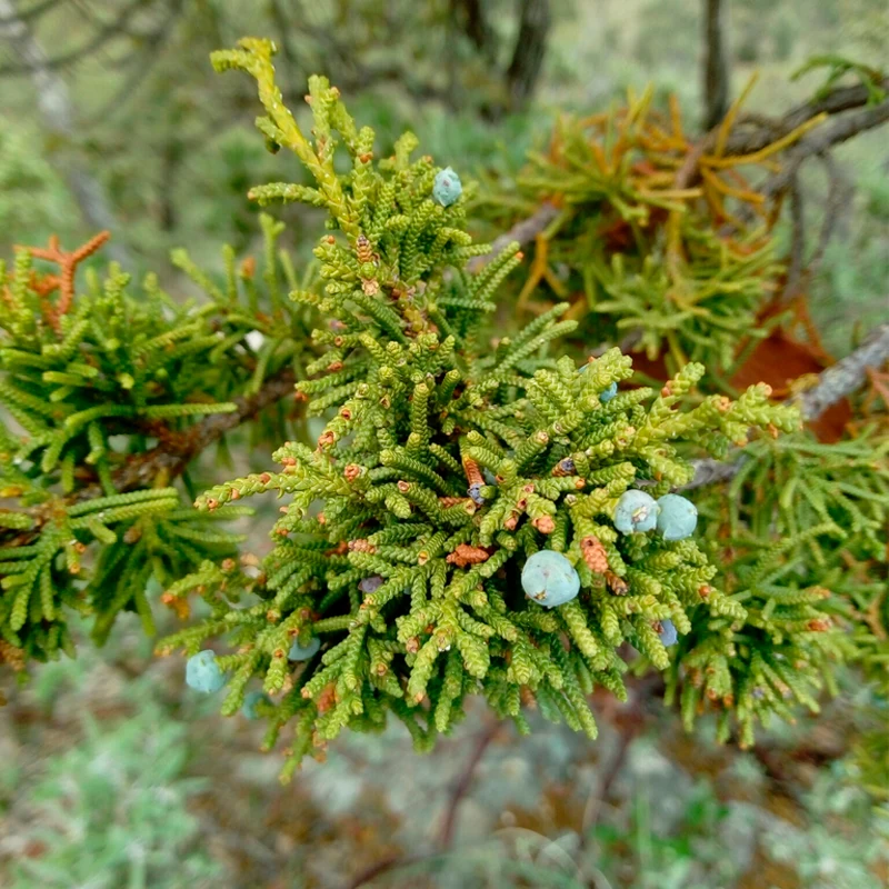
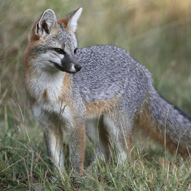
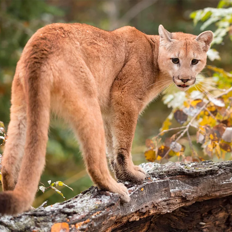
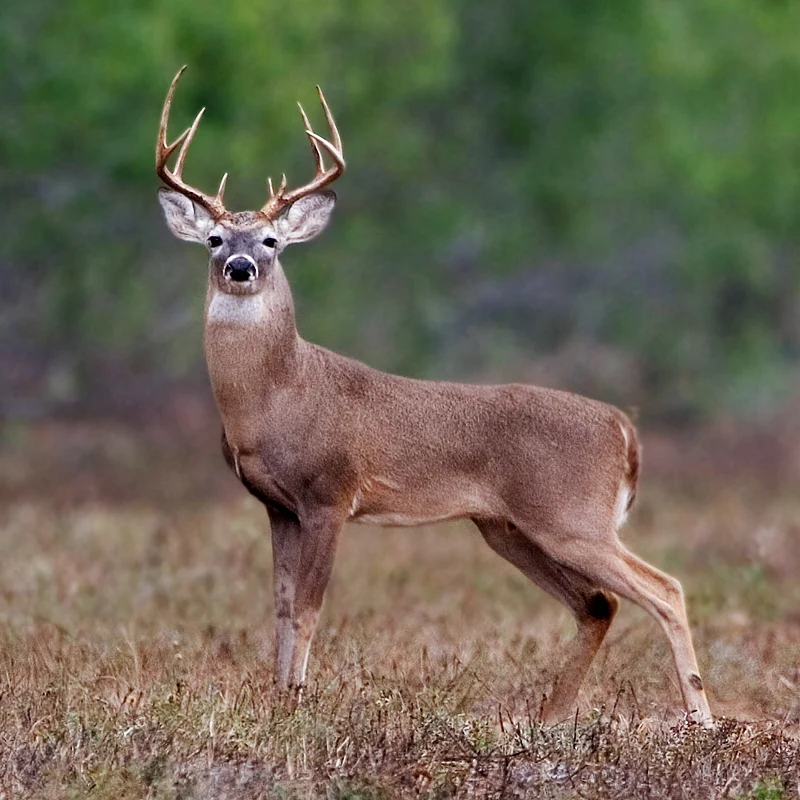
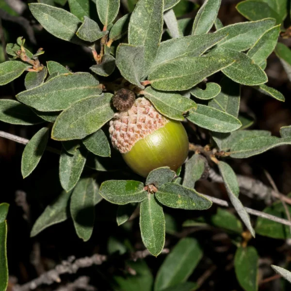
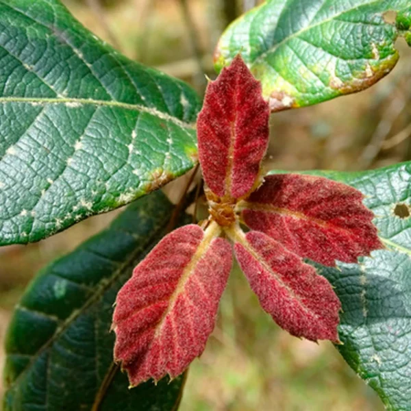
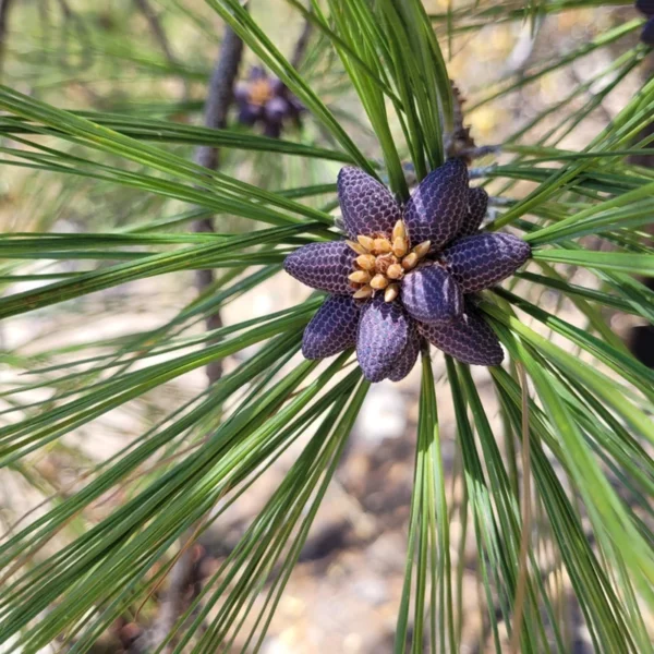
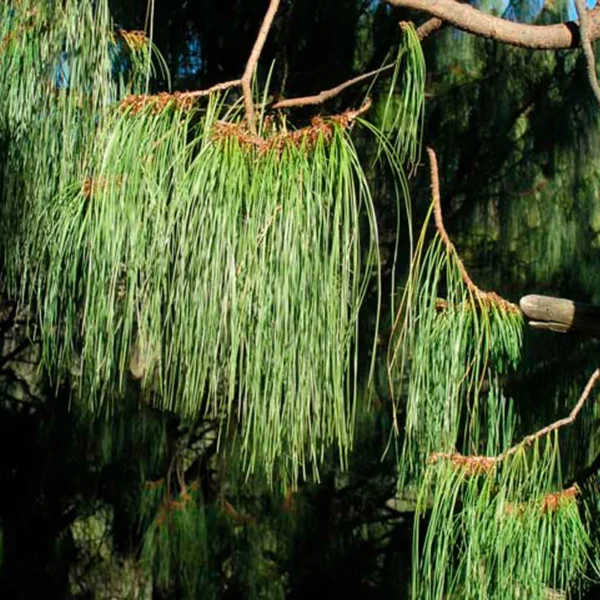
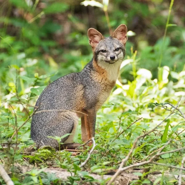
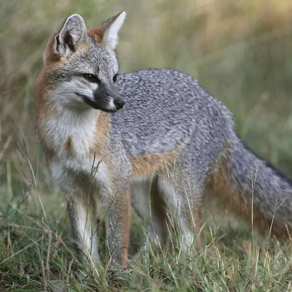
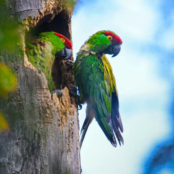
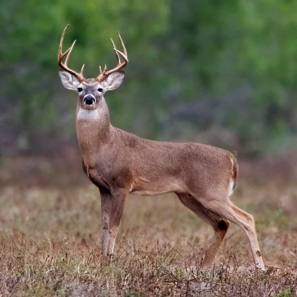
Emblematic flora and fauna
By ensuring the sustainability of their habitats, promoting biodiversity conservation and highlighting the unique value of the community, we protect these species.